
geomorphology
61,000 Linear Water Erosion Foci Reveal Critical Areas of Soil Degradation in Mato Grosso, Brazil

61,000 Linear Water Erosion Foci Reveal Critical Areas of Soil Degradation in Mato Grosso, Brazil

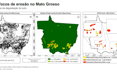
A study published in Earth Surface Processes and Landforms mapped 61,005 linear water erosion foci in Mato Grosso, Brazil, and identified 15 critical areas. The results show how relief, soils, and mismatches between land use and agricultural land capability help explain the concentration of ravines and gullies, while providing insights for land-use planning and soil conservation.
Latossolos (Ferralsols) in Brazil’s Northeast semiarid region: what does this “contradiction” reveal?

Latossolos (Ferralsols) in Brazil’s Northeast semiarid region: what does this “contradiction” reveal?

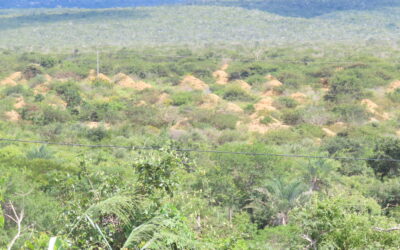
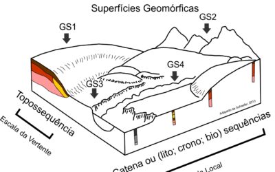
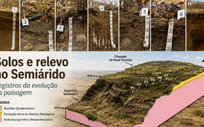
Why do Latossolos occur in Brazil’s Northeast semiarid region? Drawing on the paper by Grace Bungenstab Alves, this text shows how reading soil and relief together reveals both legacies from wetter phases and more recent landscape reorganization. Two examples illustrate the argument: Vertisols with Holocene OSL ages and the Latossolo–Planossolo transition. Together, they highlight that separate inventories of soils and landforms do not explain processes, and that transition zones often hold the key evidence for interpretation.

Revista Brasileira de Geomorfologia (Brazilian Journal of Geomorphology): 25 Years of Evolution and New Directions in Geomorphological Research

Revista Brasileira de Geomorfologia (Brazilian Journal of Geomorphology): 25 Years of Evolution and New Directions in Geomorphological Research

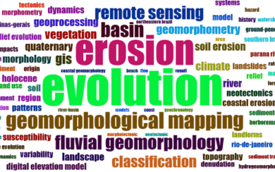
Bibliometric analysis reveals 25 years of evolution of the Brazilian Journal of Geomorphology, highlighting the consolidation of national scientific production, the growth of international networks, and the challenges of expanding emerging subfields such as Geodiversity, Geochronology, and Geomorphological Heritage.